Author: Alief Moulana
As a follow up to Elizabeth’s post last year, I tried to “play with” the old map Elizabeth was using and see if I could crate any meaningful mapping out of it. First, as Elizabeth previously pointed out, this old map is quite difficult to use, since there are a lot of places in the map that do not have a similar spacing or arrangement in a modern map. As a result, instead of trying to superimpose this old map to a modern map (e.g. google maps) and geocode it (i.e. “georectifying” the map on a software like ArcGIS), I used a tool called Antirubbersheeter created by Moacir P. de Sá Pereira to annotate the map.
Here is what the old map looks like again:

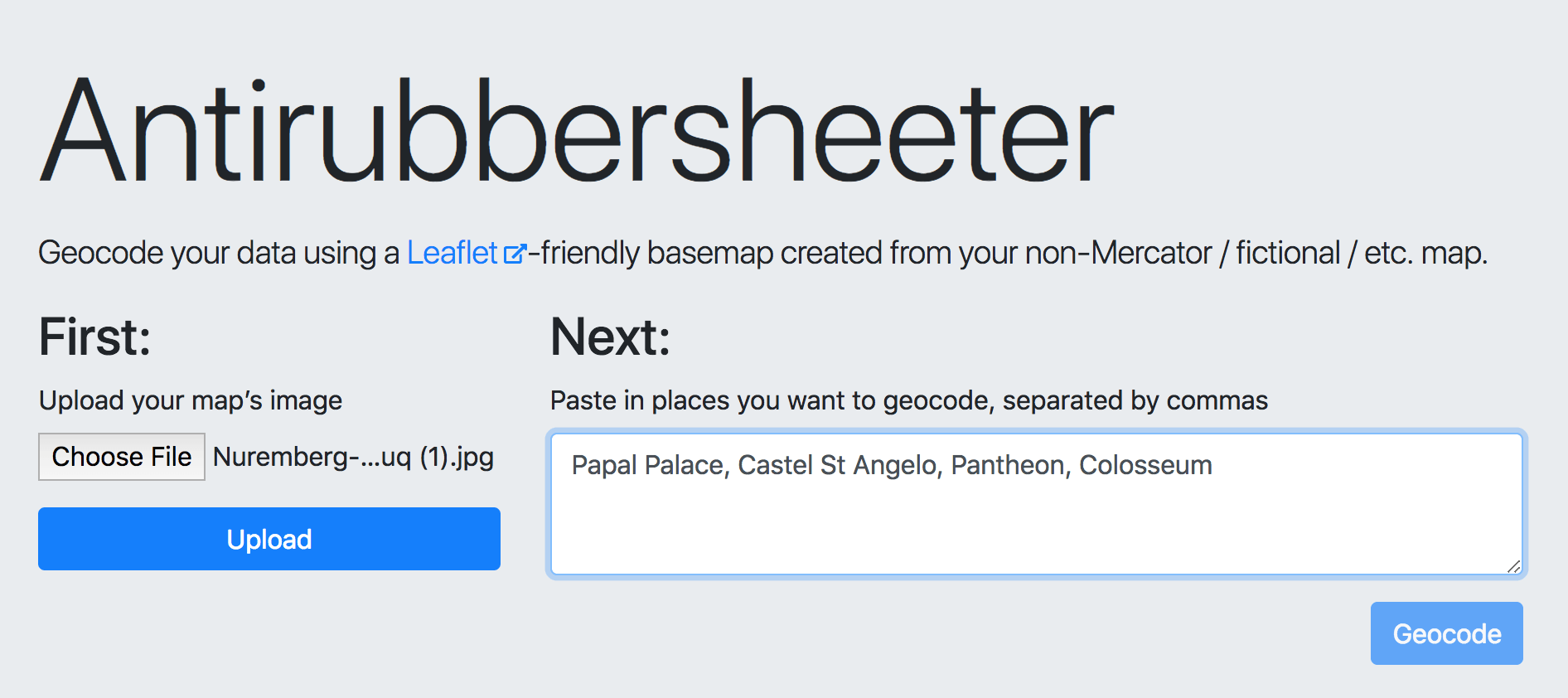
In annotating the map, I went to the website and followed the instructions. First, I uploaded the image that I wanted to use (i.e. the old map of Rome above). This image would then also be uploaded to imgur. Then, I listed a few places that I wanted to mark on the map one by one separated by commas on the geocode box. Due to my minimum knowledge of Rome geography, I only picked four places: Papal Palace, Castel St Angelo, Pantheon, Colosseum.
After clicking on Geocode, now I can start on geocoding the places that I specified on the homepage. For each place, I saved the geocode and proceeded to the next.

Again, my knowledge about Rome is extremely limited, so I might have made a lot of errors in geocoding my places. After saving everything, Antirubbersheeter gave me a .json file that refers to my now annotated map. Here is the final result:

Ideally, we would want to annotate more places to give a detailed tour of Rome. I was initially thinking to somehow put this map as a layer on a modern map, but this would go against Moacir’s purpose in creating Antirubbersheeter, which is to make the old map to be the center of the study not the pre-existing ground, such as Google Maps. However, antirubbersheeter also gives us a .json file that could be further modified using a Leaflet template. For instance, we can create lines, pop-ups, or circles on the map using Javascript-based functions. This requires some javascripting and CSS skills.

Although antirubbersheeter seems really simple, its interactive feature makes it easier to produce .json file. It also automatically uploads the image you use to imgur, so that you do not have to deal with local directory problems when trying to present your annotated map. However, to make a full use of it, you need an ample skills and knowledge of Javascript and Leaflet platform in general. If you were comfortable with both, antirubbersheeter would seem unnecessary, and you perhaps want to utilize the offline version. the only difference between the online and local platforms is that your image would not be stored on imgur if you use the local platform, which would be important if the image has copyrights. Thus, although antirubbersheeter is interactive in intuitive on its own, its use is limited without Leaflet platform. Overall, this tool could be made more useful if it also allows for other kinds of annotations that are only available when using Leaflet.